By Off Path Now · Updated
The mountain has more than one edge
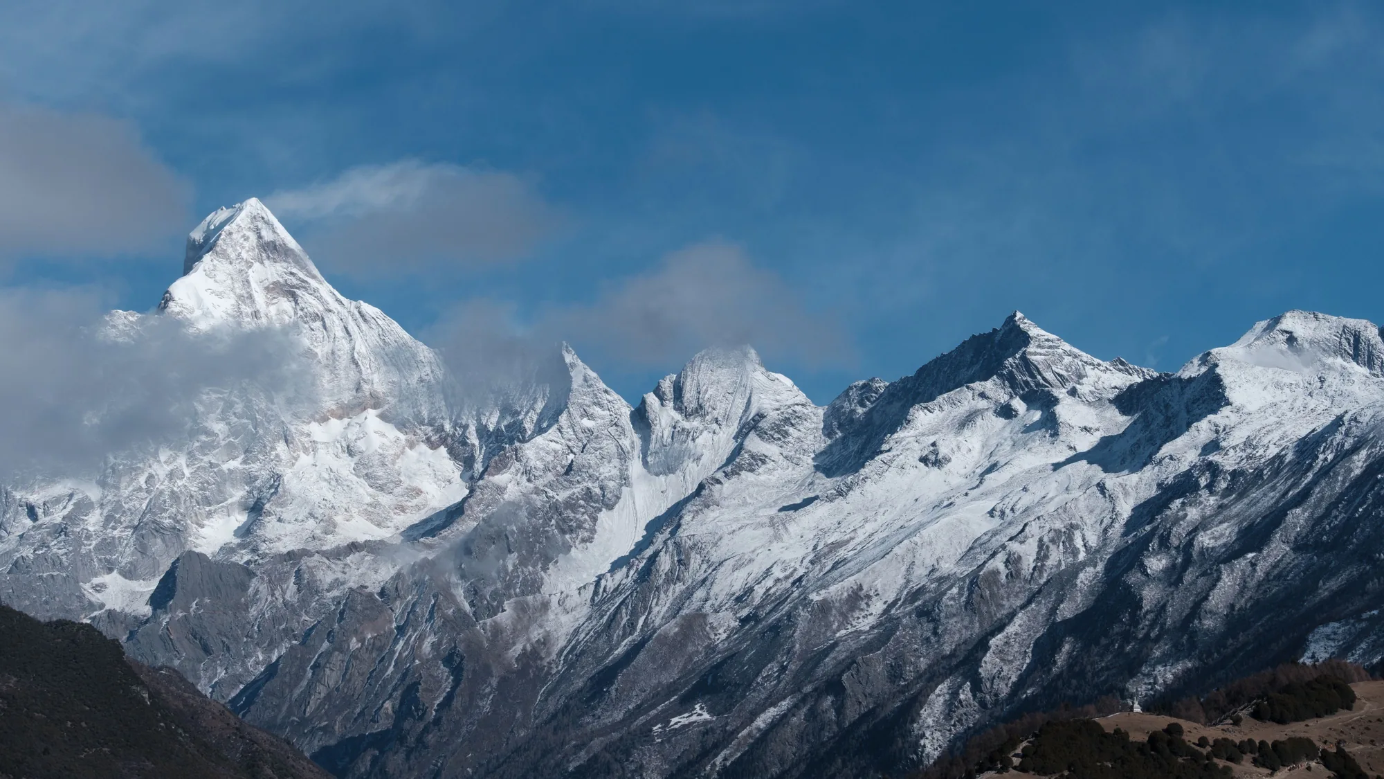
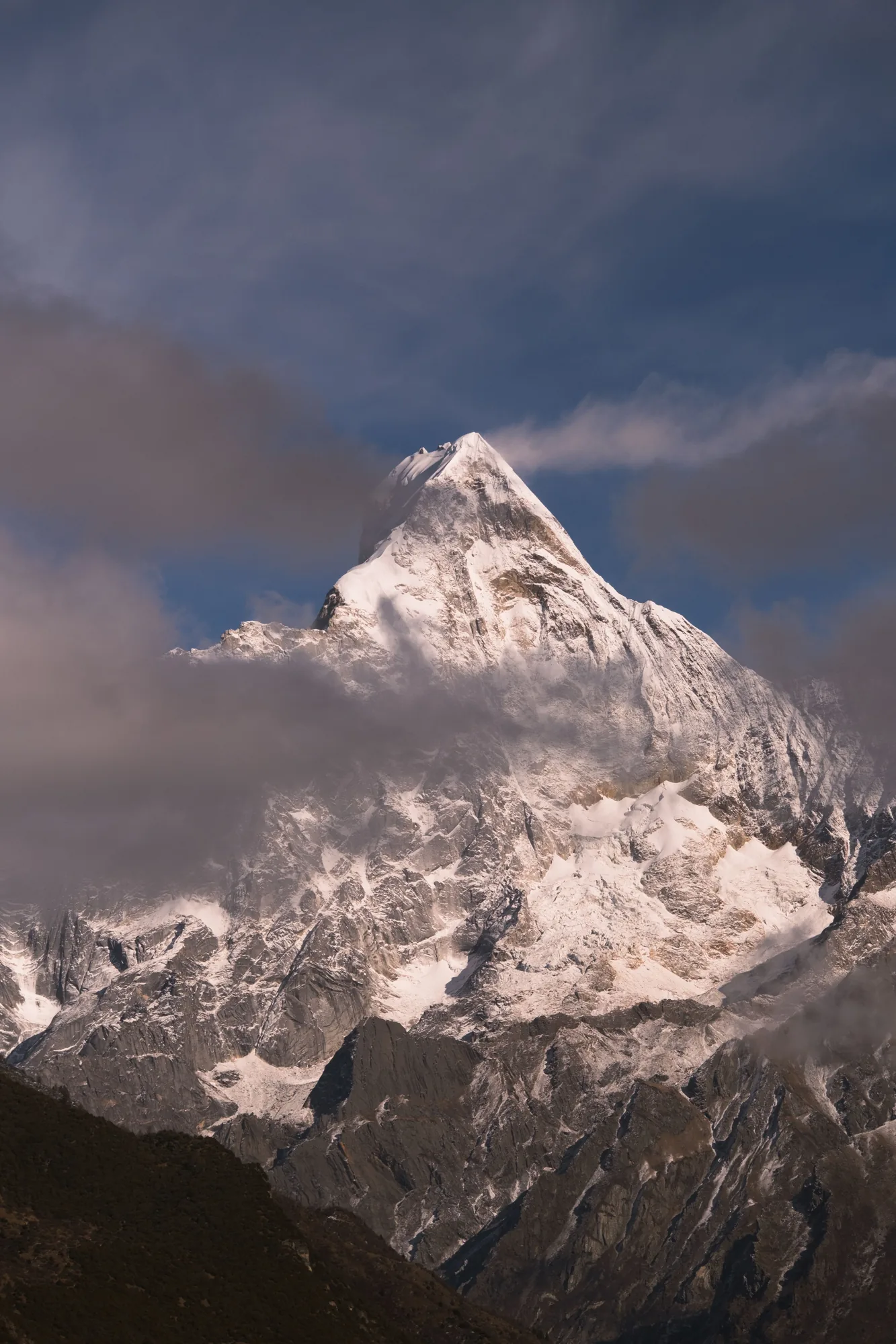
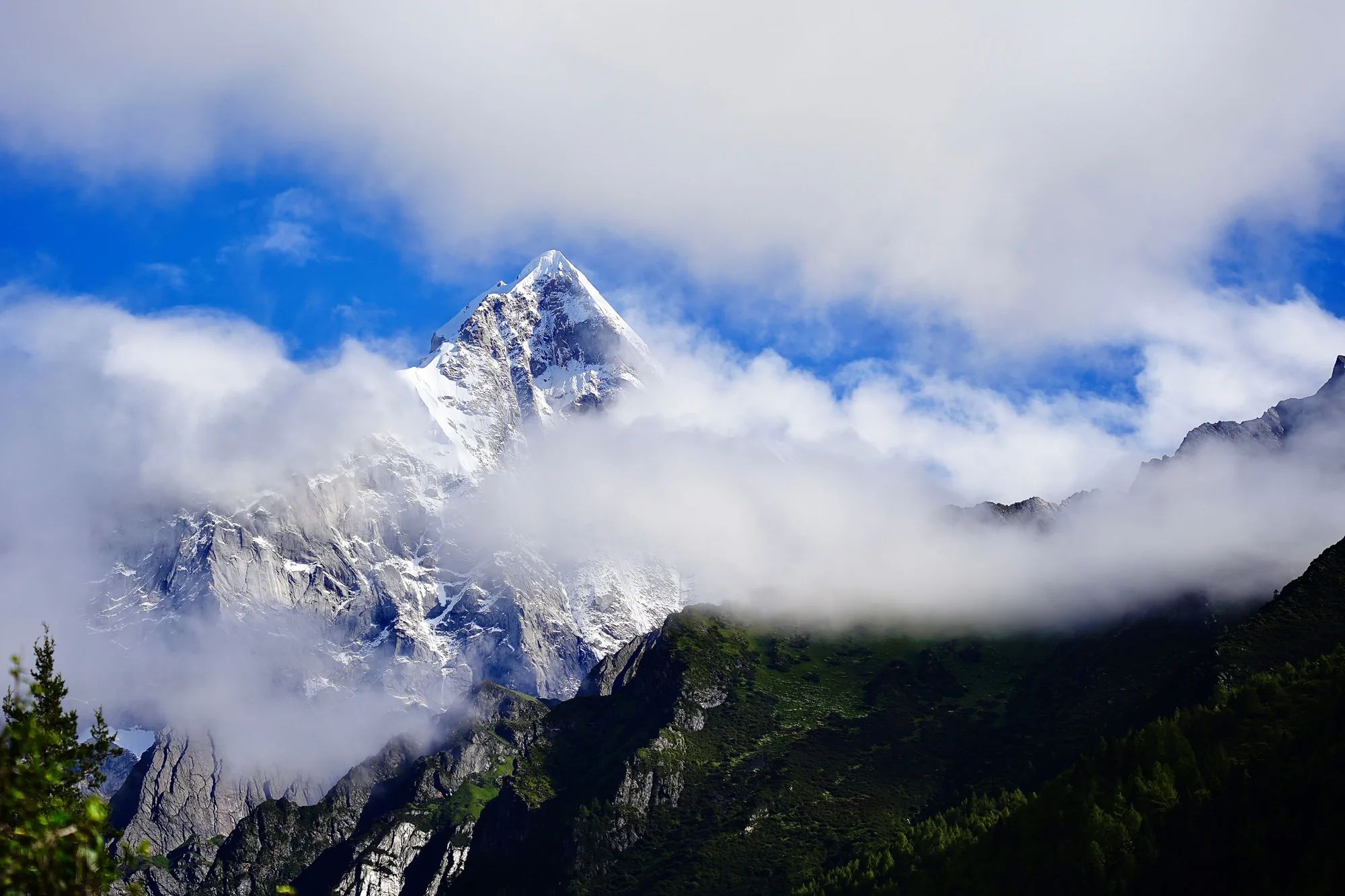
In one photograph, a bright line of snow separates the peaks from a blue sky. In another, cloud wraps around the same sharp profile, leaving a dark, green slope visible below. The first image makes the mountain seem almost entirely mineral. The second restores the forest to the frame. Looking between them changes the subject from a summit to a whole landscape.
Mount Siguniang is in Xiaojin County, within Sichuan’s Aba Tibetan and Qiang Autonomous Prefecture. Its snowy outline is an understandable starting point for a journey. Yet the space beneath that outline deserves equal attention. The foreground is not simply the part of the picture to cross before reaching the view; it helps explain what the mountain is.
A landscape with an ice-written past
The mountain administration’s account of glacial landforms describes U-shaped valleys, cirques and moraines. These are traces of ice shaping the terrain: broad excavated valleys, hollows near mountain heads and accumulations of rock material. They offer a way to read the landscape that goes beyond attaching a name to each peak.
In the photographs, the contrast between white surfaces and exposed rock makes the ridges legible. Lines divide, meet and disappear into shadow. You do not need to identify every geological feature to begin looking more carefully. A mountain’s apparent stillness contains the evidence of movement, and a wide view can reveal relationships that a close-up leaves outside its frame.
Where the forest returns to the picture
For the wider Sichuan Giant Panda Sanctuaries, the UNEP-WCMC datasheet describes vegetation changing with altitude, from forests to subalpine scrub, meadows and sparse alpine growth. This is a regional pattern rather than a checklist for one visitor path. It helps explain why a mountain landscape cannot be reduced to its highest, brightest part.
The clouded photograph brings that idea into focus. Green gathers across the lower slope; individual tree shapes become visible at the edge of the frame. Above them, the surface is broken by rock, snow and passing cloud. Colour changes the scale of attention. Instead of following only the topmost point, the eye can travel sideways through the transitions below it.
The landscape behind the panda name
Mount Siguniang belongs to the UNESCO-listed Sichuan Giant Panda Sanctuaries, alongside Wolong and the Jiajin Mountains. UNESCO’s account emphasises the importance of connected habitat and botanical richness. The designation describes a protected living landscape; it does not make a sightseeing visit a promise of encountering a wild panda.
For travellers drawn to China by pandas, this connection gives the journey a wider frame. A close view of an animal and an understanding of its broader habitat answer different questions. The mountain story asks us to consider space, continuity and the terrain between familiar images. Its appeal can remain powerful even when no animal enters the photograph.
Choose a way of seeing
The area’s three main visitor valleys are Shuangqiao, Changping and Haizi. Their names are worth learning before discussing a route, because ‘a day at Siguniang’ leaves the actual experience undecided. A chosen viewpoint, time on an open walking route and a mountaineering objective require different plans. These photographs identify the mountain area, rather than a promised camera position on any one trail.
The destination is high mountain terrain, including its valleys. Choose arrangements with the actual altitude, walking demands and current access in mind, and follow the administration’s requirements. A slower pace is a travel preference, not a guarantee that a route will suit everyone. The useful question is what you want to observe, and what kind of day is realistic for your party.
Leave time for the view to change
Cloud provides the movement in these pictures. It interrupts the outline rather than merely decorating an otherwise finished scene. Clear sky reveals the range as a continuous form; a passing bank of white turns the same mountain into separate fragments. Photographs preserve particular conditions. A visit can offer another arrangement of light, visibility and season.
Within a wider China journey, Siguniang can be discussed as time devoted to mountains, rather than a hurried addition between cities. If the meeting of snow and forest interests you, tell us how you would like to experience Sichuan. Begin with the scale of the landscape and the pace you prefer, and let the route grow from that conversation.
Sources and further reading
Mount Siguniang Administration — Ecological Mt. Siguniang
Mount Siguniang Administration — Ice erosion
UNESCO — Sichuan Giant Panda Sanctuaries
UNEP-WCMC — Sichuan Giant Panda Sanctuaries World Heritage datasheet
Photographs: 虎 曼, Hannah Luo / Pexels. Pexels License